This page links to a variety of resources and information about Strathtummel, its history, and its people.
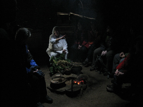
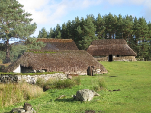
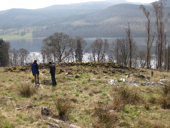
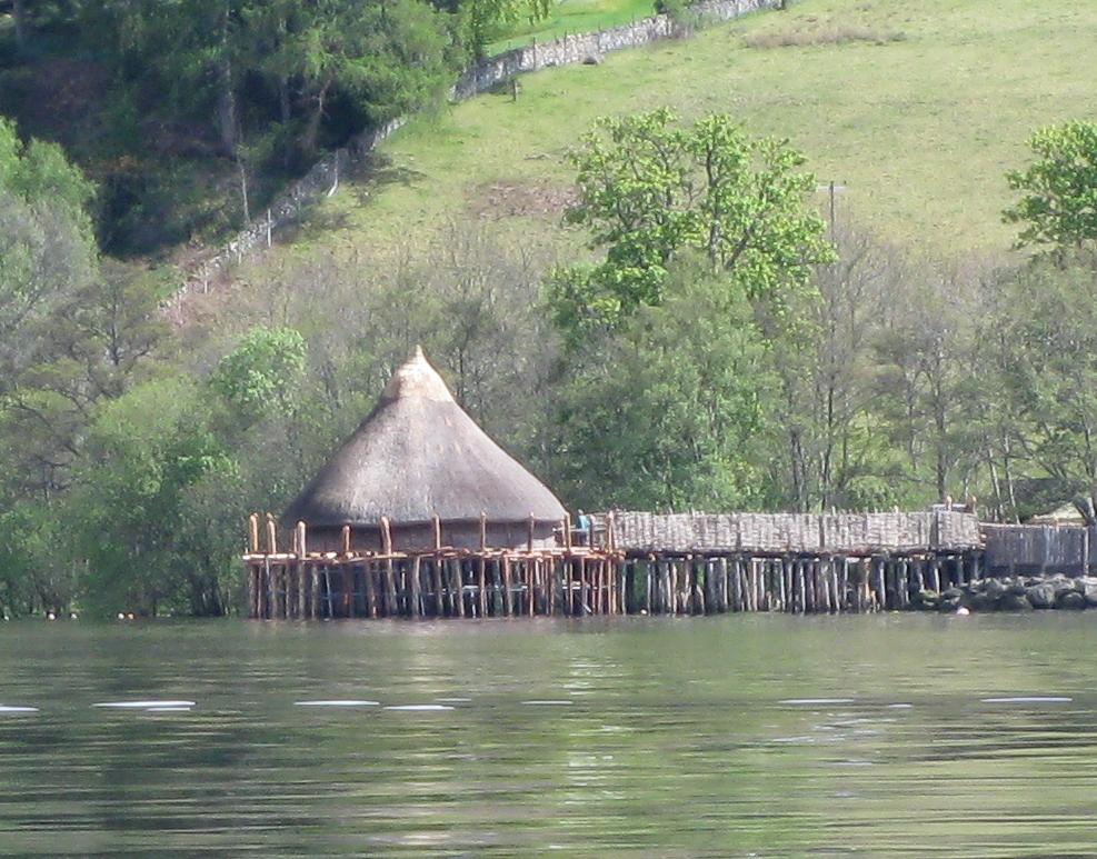
Strathtummel has a large number of so-called 'ring-forts' which were the homesteads of the inhabitants during the Bronze Age and the Iron Age. In addition there is at least one crannog in Loch Tummel, which was inhabited from the Bronze Age right up until the 1500s.
 |
 |
|---|---|
| Information on local 'ring-forts' | Information on local crannogs |
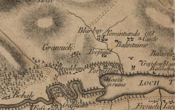
Early maps of Scotland seldom mention places in Strathtummel, and it is not until the end of the 1700s that maps are being produced which show the locations of homesteads mentioned in the Old Parish Records. These early maps are useful as they name places which were un-inhabited and therefore un-named in the 1st edition of the Ordnance Survey maps of Perthshire.
To view the 1st edition of the Ordnance Survey map (1867) from the National Library of Scotland (NLS), use the hyper-link below.
This will display a fudgy grey image of Scotland which will give you the Ordnance Survey six-inch to the mile, 1843-1882, in a seam-less version so that you dont have to pull separate maps for each area. At the top where it says County, select Perth (for Perthshire) on the pull-down menu. Then select your parish from the second pull-down menu.
Navigation controls for magnification and direction are as normal. However, you will notice that in the bottom right-hand corner the mouse position is being tracked as a National Grid Reference (NGR). Back at the top of the page, the first box says Gazetteer / NGR: So, if you already know the National Grid Reference, its even easier to find the place you are looking for. This Gazetteer lists the NGRs for most of the dwellings in Blair Atholl parish and the immediate surroundings. For instance it shows that the NGR for Achastle in Fincastle (actually in Dull parish) is NN 8620 6268. Just copy it across, hit Return and you should be there.
 |
 |
|---|---|
| Old maps of Borenich |
National Library of Scotland |
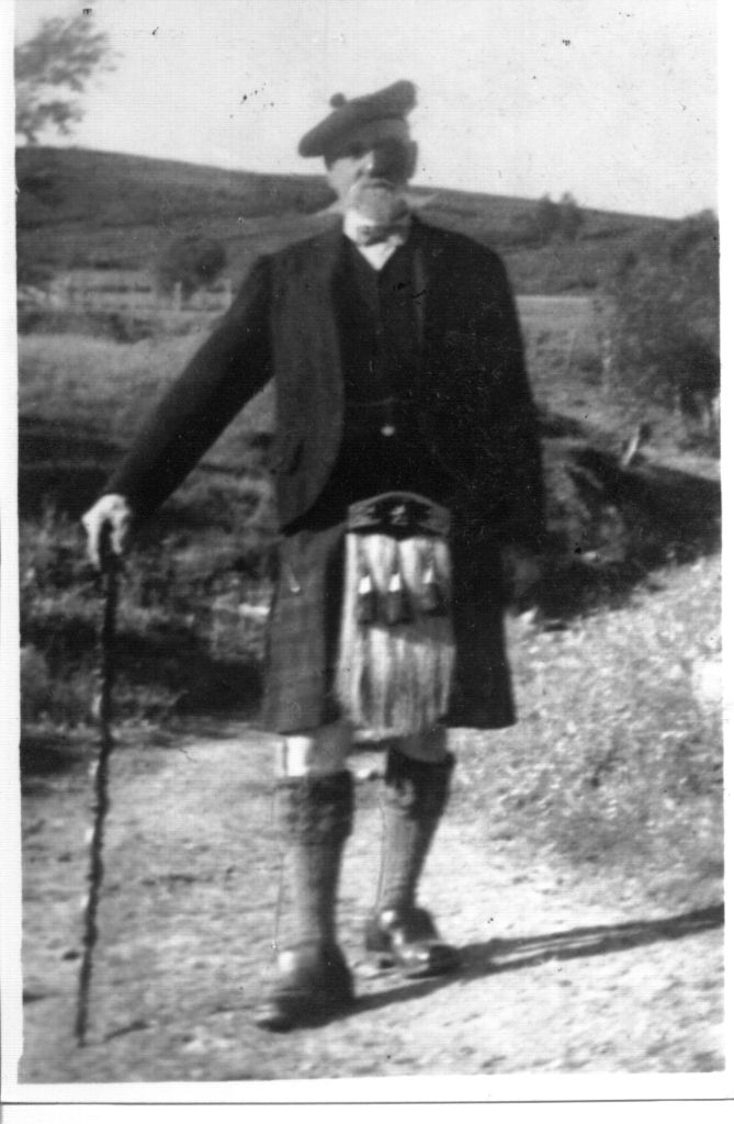
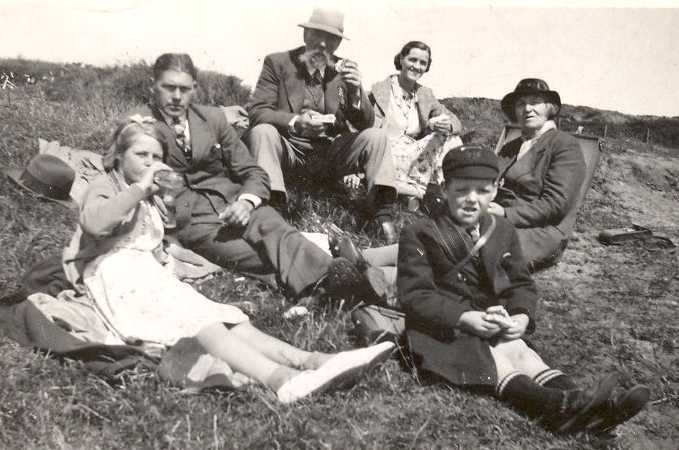
Bringing us up to more recent times, there are the Gaelic tales of bygone days by Donald Dow, as well as additional stories from his daughter, grandson and others.
Thanks are due to the Dow family and others, who have provided the following stories and memories of Strathtummel and its characters. The Gaelic words of Donald Dow were translated for the Sassanach by Cathie Laing whose ancestors came from this area, and to whom we are most grateful.
The memories of each contributor start at the Introduction, but it is possible to jump to individual pieces by selecting a title from the list following the Introduction.
-
| Return to Home Page |
|---|